Nature & foodTested in a study
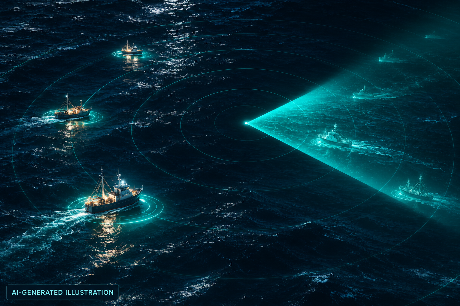
Satellites revealed fishing boats missing from public tracking
Discover the storyResult & evidence
Deep learning combines satellite imagery and vessel-position data to reveal fishing activity missing from public tracking, helping fisheries managers understand pressure on marine resources that support food supplies and coastal livelihoods.
Documented result
The 2024 study mapped industrial activity across coastal waters and found 72–76% of industrial fishing vessels were absent from public tracking.
Global Fishing Watch; university research partners
Global coastal waters 2024
Peer-reviewed studyNature : Satellite mapping reveals extensive industrial activity at sea
Being absent from public tracking does not establish illegal fishing; the study did not measure stock recovery.
- Satellite mapping reveals extensive industrial activity at sea Nature · 2024-01-03
- New research harnesses AI and satellite imagery to reveal the expanding footprint of human activity at sea Global Fishing Watch · 2024-01-03
- Annual Report 2024 Global Fishing Watch · undated