BIGGER PICTURE Nature & food
Satellites revealed fishing boats missing from public tracking
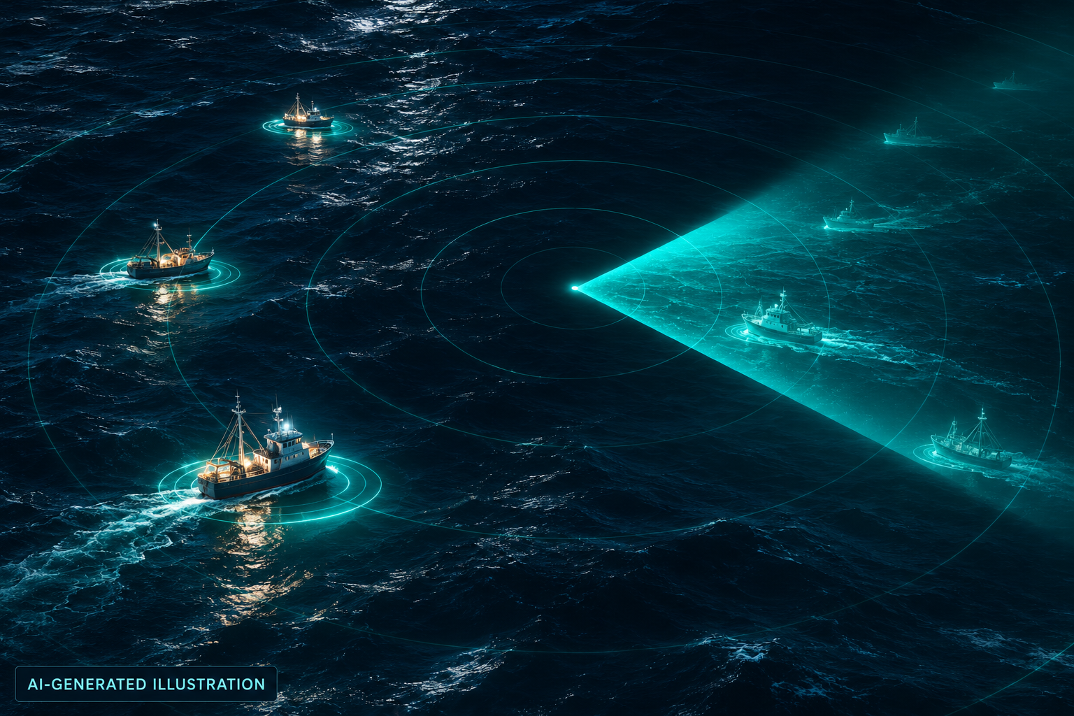
A ship missing from public tracking may still leave a clear radar reflection. Comparing those two views exposed a much larger industrial fishing fleet than public signals alone suggested.
- Estimated untracked industrial fishing vessels
- 72–76%
- Observation period
- 2017–2021
- Image tiles classified
- >67 million
How the idea works
Detect vessels from orbit
Radar and optical images reveal physical objects at sea.
Classify and match
Models estimate vessel type and compare detections with tracking.
Investigate the missing activity
Analysts see where public vessel records are incomplete.
A blank tracking map is not an empty sea
Public ship maps often rely on vessels broadcasting their locations through the Automatic Identification System. Some boats are not required to carry it; reception can be poor, data private, or transmissions deliberately disabled. Global Fishing Watch's researchers therefore asked a different question: what can satellites see, regardless of what a vessel says about itself?
Radar spots an object; matching reveals the gap
The team combined radar and optical satellite imagery with vessel tracking. Neural networks detected objects, estimated their size and distinguished likely fishing vessels from other shipping. Matching the detections against position broadcasts revealed activity absent from public maps. The analysis classified more than 67 million image tiles, covering coastal waters where industrial maritime activity is concentrated.
Sources: [1]
What the missing boats mean for people
The 2024 study estimated that 72–76% of industrial fishing vessels were not publicly tracked. This is a visibility gap, not a finding that three-quarters were fishing illegally. For authorities and coastal communities, better observation can inform where to investigate fishing pressure or protect habitats. The study establishes a way to see activity; it does not itself measure recovered fish stocks.
A map needs investigators and institutions
Global Fishing Watch's 2024 annual report describes authorities using its data in fisheries investigations and marine management. Those wider activities show the institutional route from information to action, but should not all be credited to this single satellite model. The inspiring method is independent cross-checking: compare what an activity reports with a separate physical observation of that activity.
Sources: [3]
The original sources
- NatureSatellite mapping reveals extensive industrial activity at sea
- Global Fishing WatchNew research harnesses AI and satellite imagery to reveal the expanding footprint of human activity at sea
- Global Fishing WatchAnnual Report 2024