BIGGER PICTURE Disaster preparedness
How to forecast a river that has no measuring station
Flood forecasting usually benefits from years of local water measurements. Google's research asked whether experience from other rivers could help where those records are missing.
- Key published comparison
- 5-day forecast versus baseline nowcast
- Forecast horizon
- Up to 7 days
- Type of hazard
- River flooding
How the idea works
Describe weather and watershed
Rainfall, temperature and basin properties frame the task.
Forecast river discharge
A time-series network estimates the next several days.
Validate and communicate
Gauges or satellite evidence support checks before local response.
The places with the least data still need warning
A river gauge records how water levels or flows change over time. Those records help calibrate conventional forecasting models, but many watersheds lack them. The research challenge was therefore not simply a better prediction at a well-instrumented river. It was transferring useful forecasting skill to places where the usual local measurement history was unavailable.
Sources: [3]
Rainfall is only the beginning of the calculation
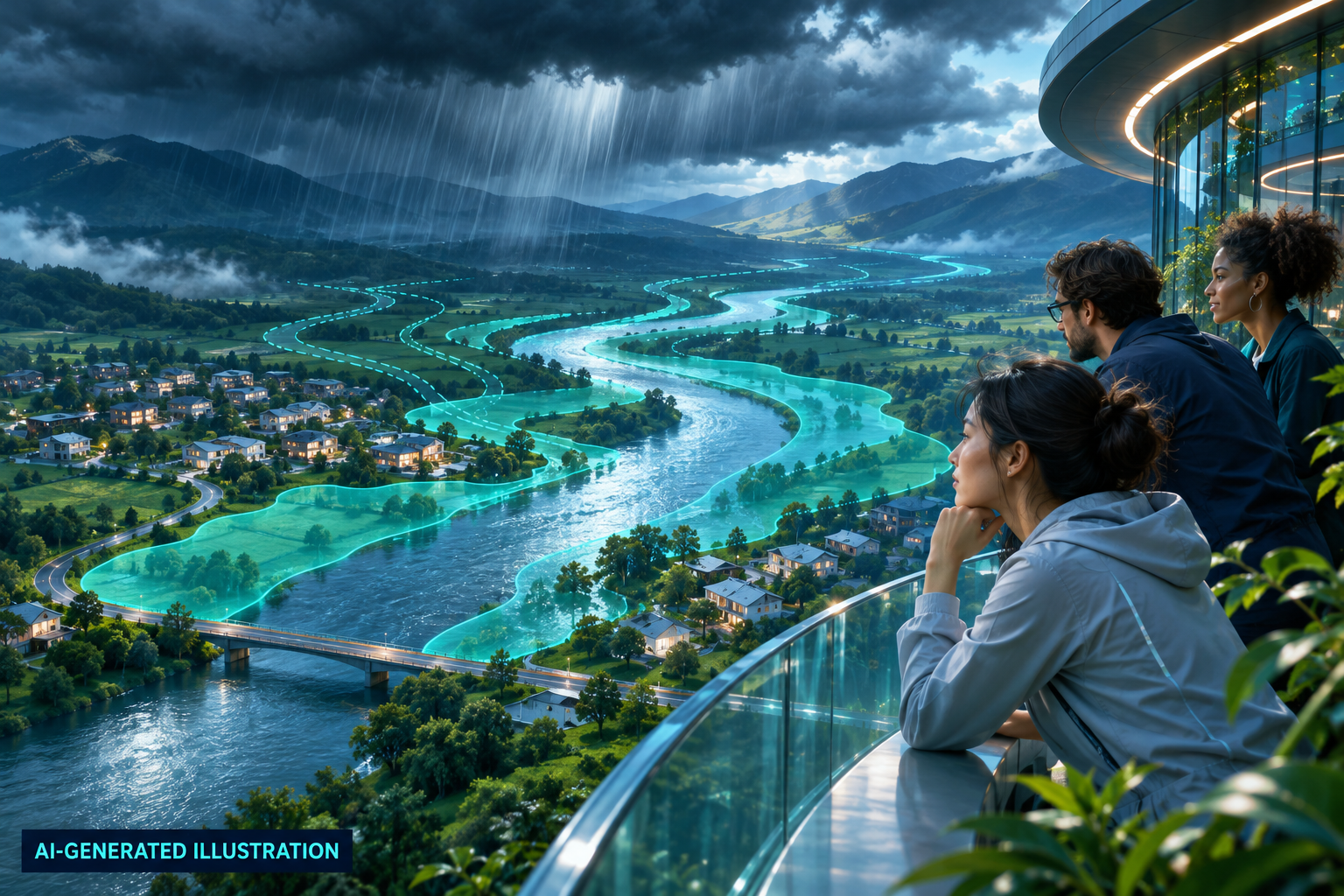
The hydrological model combines weather information with characteristics of the drainage basin. A time-sequence neural network learns how these inputs relate to river discharge over subsequent days. Google's technical description distinguishes this flow forecast from inundation mapping: estimating what passes along a river is a different task from drawing which streets or fields may end up underwater.
Sources: [4]
The measured gain was time to prepare
The published research found that forecasts up to five days ahead in ungauged basins could match or exceed the reliability of the comparison system's same-day estimates. The operational service produced forecasts up to seven days ahead. This is a meaningful improvement in forecast skill. It does not mean every flood receives seven accurate days of warning, or establish a count of lives saved.
How do you check a place with no gauge?
A subsequent Google Research account describes comparing forecast river events with flood evidence in satellite radar images. That provides an additional check where ground records are scarce, although satellite visits are intermittent. This is the second useful idea: expanding prediction requires expanding validation too. Emergency plans, accessible messages and local response still turn any extra forecast time into practical protection.
Sources: [5]
The original sources
- GoogleHow we are using AI for reliable flood forecasting at a global scale
- NatureGlobal prediction of extreme floods in ungauged watersheds
- Nearing et al.; author preprintAI Increases Global Access to Reliable Flood Forecasts
- Google ResearchFlood Forecasting: Our models
- Google ResearchAn improved flood forecasting AI model, trained and evaluated globally