← Back to the homepage
BIGGER PICTURE 99 AI stories

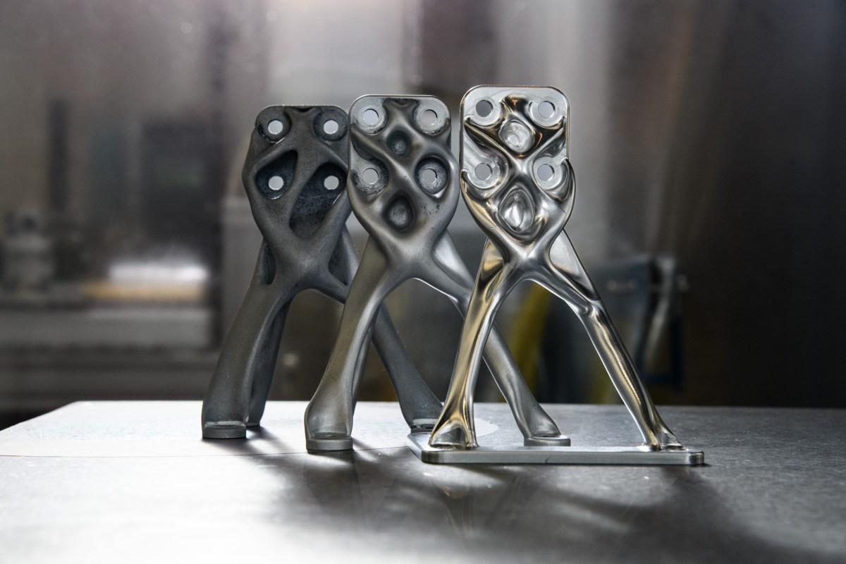
NASA parts shaped like bones.
Burnt scrolls read unopened.

Explore all 99 applications
Three metal telescope supports with branching, curved struts and bolt holes on a workbench.
NASA / Henry DennisNASA media guidelinesWhy this shape?
How this collection was selected

We selected 99 distinct applications with a traceable benefit for people or a demonstrated step towards one. Each links to an original study, a report by an involved institution, or an explicitly labelled provider report. The order starts with particularly tangible examples; it is not a ranking.

“In use” describes use in the documented project, not independent proof of effectiveness or a guarantee of current operation. Study evaluations and research are labelled separately. Better predictions, higher detection rates and saved working time do not automatically mean lives saved or a net social benefit. Each case explains its specific limit. This selection is not a statistical comparison with incidents in the register.

Sources reviewed: 14 November 2026

How did they do it?

Every example freely accessible

25–36 of 39 matches · 99 applications in total

AI-generated illustration: Conceptual wastewater tank cutaway with controlled aeration and oxygen sensors.
Can a virtual sensor help decide how much air wastewater bacteria need?
Energy & climateIn use

Giving wastewater bacteria the air they actually need

Discover the story
Result & evidence

AI analyses operating data at Cuxhaven’s wastewater plant and recommends aerator settings, helping its operators match treatment intensity to incoming conditions while maintaining required water-quality standards for the community.

Documented result

Xylem’s case report describes a 30% reduction in aeration energy use after deploying its AI treatment-optimisation system.

EWE WASSER; Xylem
Cuxhaven, Germany 2021

The saving applies to aeration, not all plant energy; it is a supplier-reported operational comparison.

Reviewed 2026-11-14

AI-generated illustration: A conceptual chip layout arranging functional blocks and interconnections.
Before silicon becomes a processor, its crowded neighbourhood needs a workable layout.
Scientific discoveryIn use

A chip’s floor plan can be learned

Discover the story
Result & evidence

Learning-based floorplanning helps engineers arrange circuit blocks for efficient connections, contributing to the design of processors used in data centres and AI computing services.

Documented result

Google reported AlphaChip layouts in successive TPU generations; the public project documents placements used in manufactured TPU-v5 hardware.

Google DeepMind / Google Research
Global 2024

Production adoption is provider-reported. Floorplanning is one design stage; full-chip performance or energy gains cannot be attributed solely to AlphaChip.

Reviewed 2026-11-14
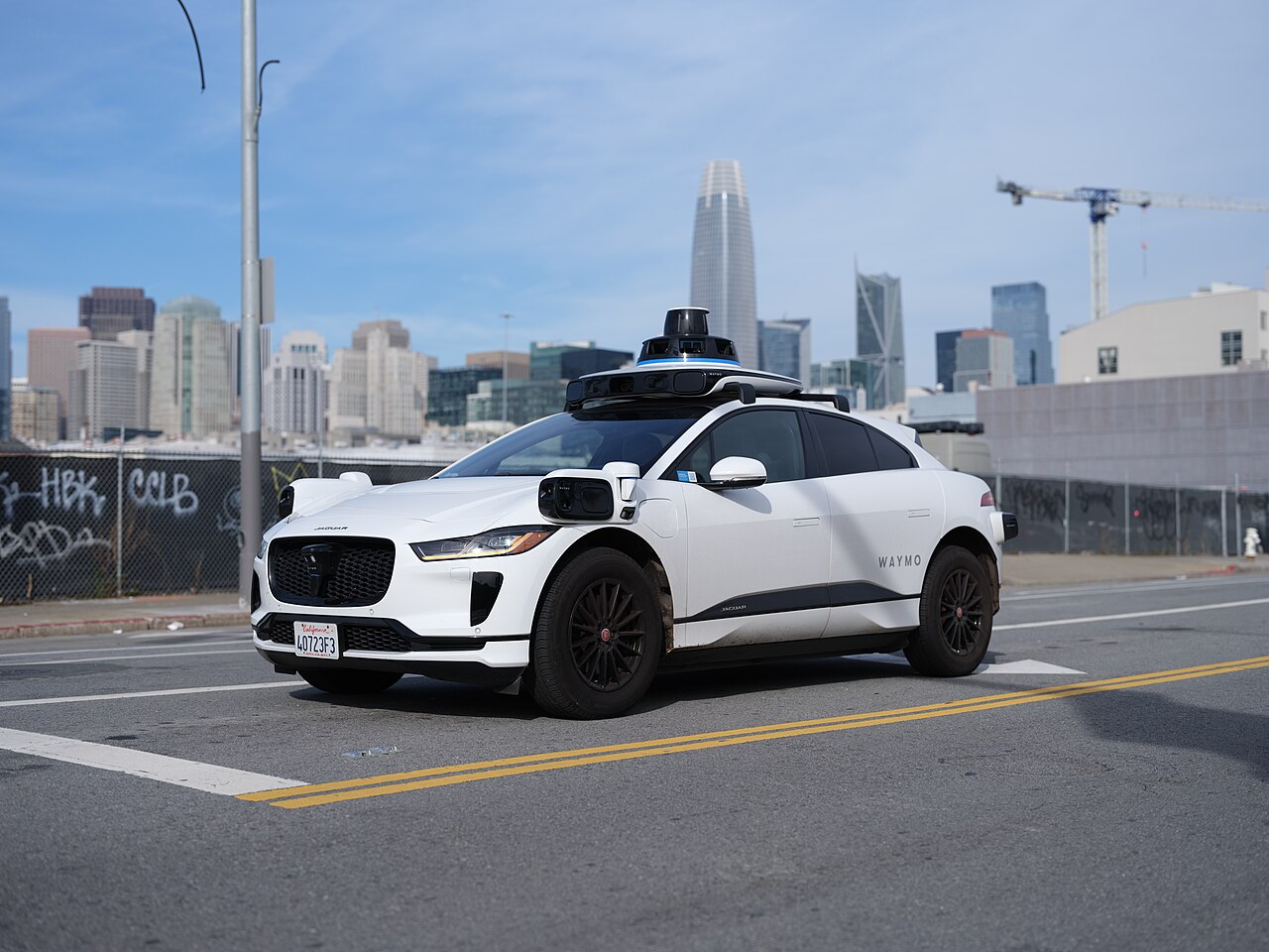
A white Waymo Jaguar I-Pace with roof sensors driving on a San Francisco street.Original photograph
Dllu / Wikimedia CommonsCC BY 4.0
Public & everyday servicesIn use

A driverless-car safety claim checked against insurance records

Discover the story
Result & evidence

Fully autonomous ride services can reduce exposure to human driving errors within their operating areas. Waymo and Swiss Re tested that possibility against insurance claims rather than relying only on simulated driving performance.

Documented result

Across 25.3 million driverless miles, the study found 92% fewer bodily-injury claims and 88% fewer property-damage claims than its human baseline.

Waymo; Swiss Re
Phoenix, San Francisco, Los Angeles and Austin, United States 2024

Company-linked observational comparison in specific operating areas; claims are a proxy and do not mean zero crashes.

Reviewed 2026-11-14
AI-generated illustration: A household sound becomes a visible and vibrating phone alert.
Running water, a beep, a knock: what if your phone could tap your pocket?
Accessibility & independenceIn use

A knock at the door becomes a vibration in your pocket

Discover the story
Result & evidence

Android's Sound Notifications used machine learning to recognize household noises and translate them into visual or vibrating alerts, giving people with hearing loss another way to notice activity around them.

Documented result

At launch, the offline system recognized ten sound types, including running water, door knocks and appliance beeps, with phone or watch alerts.

Google Android Accessibility
Global 2020

The feature recognizes a defined set of sounds through the phone microphone; the announcement does not quantify reliability or safety outcomes.

Reviewed 2026-11-14
AI-generated illustration: Conceptual forecaster examining a strengthening storm with an abstract radar cue.
Radar, lightning, satellites: three clues to a storm’s next dangerous hour.
Disaster preparednessIn use

Which storm on the screen is about to become dangerous?

Discover the story
Result & evidence

ProbSevere combines radar, satellite and weather-model information to estimate the next hour’s severe-weather risk, helping human forecasters distinguish threatening storms and decide where warnings deserve urgent attention.

Documented result

Version 3 improved on its predecessor across most of the United States and became operational at NOAA in August 2025.

NOAA; University of Wisconsin–Madison CIMSS
United States 2025

These are probabilities for forecasters; tornado improvements were modest and official warnings remain a human responsibility.

Reviewed 2026-11-14
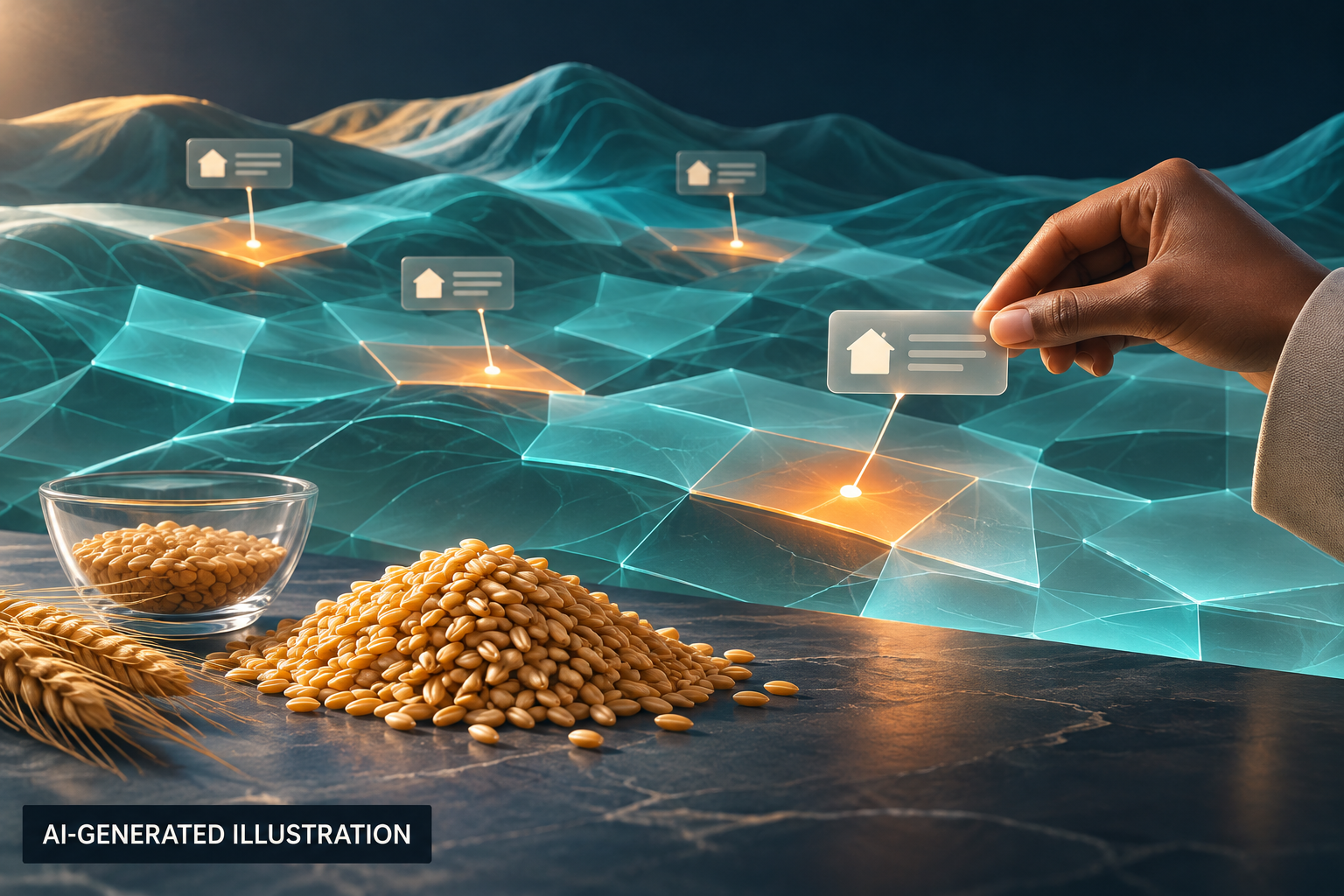
AI-generated illustration: Survey signals and food-security indicators assembled into an early-warning view.
Where are meals becoming less certain? Follow the clues between surveys.
Public & everyday servicesIn use

Seeing hunger grow before the next full survey

Discover the story
Result & evidence

HungerMap Live combines field evidence with predictive models to show where food insecurity is worsening. Aid planners gain a shared view of needs, helping them prioritise scarce resources and investigate emerging problems.

Documented result

WFP’s 2026 platform covers more than 50 countries and provides AI-assisted forecasts for 16 designated hunger hotspots.

United Nations World Food Programme
Global 2026

Operational decision support; the release does not isolate lives saved or hunger reductions caused by the AI.

Reviewed 2026-11-14
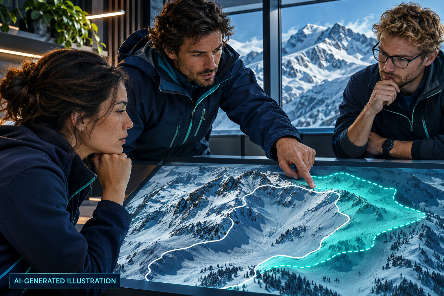
AI-generated illustration: Conceptual avalanche forecasters comparing their assessment with a computational second opinion.
When a model disagrees with an avalanche expert, what can that reveal?
Disaster preparednessIn use

The fourth opinion at the avalanche forecast meeting

Discover the story
Result & evidence

Swiss avalanche forecasters consult machine-learning assessments alongside field observations and weather data, giving them another way to examine danger boundaries before publishing information used by mountain communities and visitors.

Documented result

SLF reports that the model prompted forecasters to revisit assessments and helped refine boundaries between regions with different danger levels.

WSL Institute for Snow and Avalanche Research SLF; Swiss Data Science Center
Switzerland 2022

The documented 2021/22 model covered dry-snow avalanches; human experts remained responsible for the bulletin.

Reviewed 2026-11-14
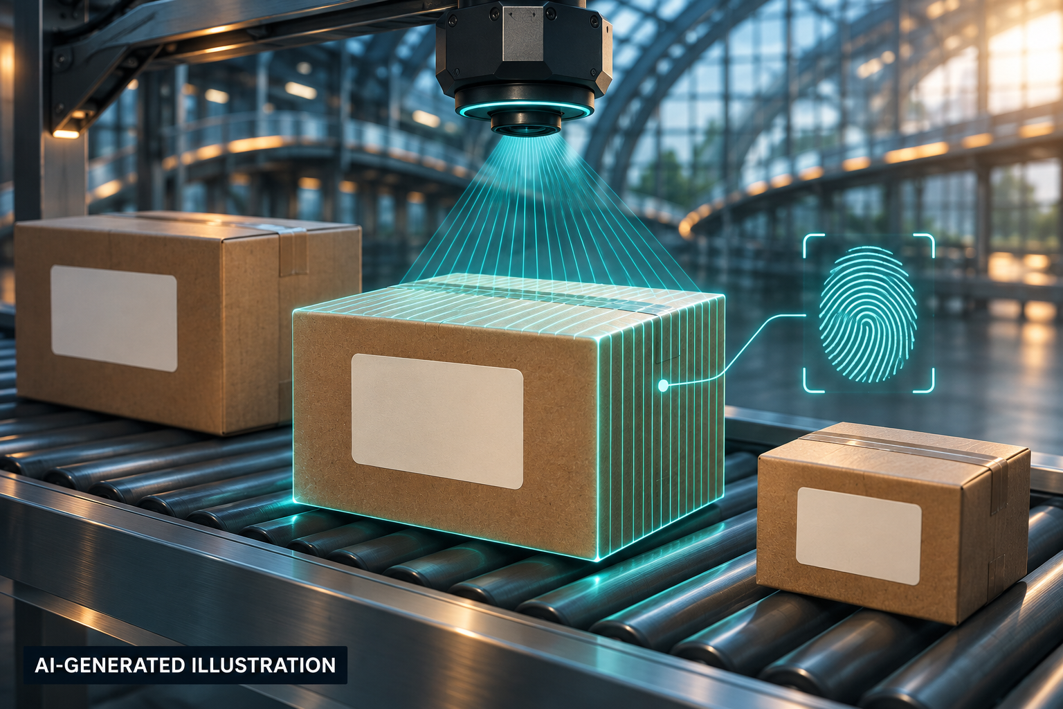
AI-generated illustration: A machine-vision camera recognising parcels on a sorting conveyor.
A parcel’s picture becomes a clue that can follow it through the sorting network.
Public & everyday servicesIn use

Twenty million parcels a day meet the postal service's machine vision

Discover the story
Result & evidence

USPS applies computer vision to package images so staff can search and process parcel information more efficiently. Better recognition helps postal operations handle difficult labels and large parcel volumes without relying only on manual inspection.

Documented result

NVIDIA reports tenfold faster package-data processing and feature extraction for about 20 million parcels a day in the USPS deployment.

United States Postal Service; NVIDIA
United States 2021

Supplier-reported processing figures; these do not establish tenfold faster delivery or fewer lost parcels.

Reviewed 2026-11-14
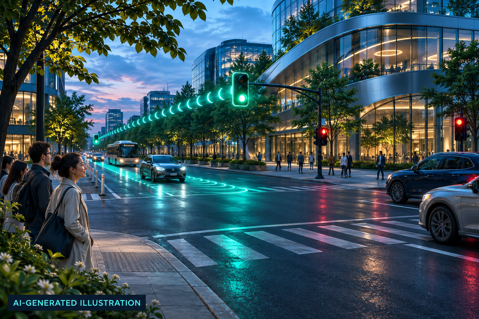
AI-generated illustration: Conceptual city intersection with coordinated green traffic signals.
The lights were already there. The opportunity was hidden in their timing.
Energy & climateIn use

A shorter queue can begin with a few seconds of green

Discover the story
Result & evidence

AI analyses traffic patterns and proposes signal timings that city engineers can implement, helping people spend less time in stop-and-go traffic while using existing road infrastructure more efficiently.

Documented result

Boston’s second pilot phase measured 13.5% less delay and 20% fewer unnecessary stops on average at newly retimed intersections.

City of Boston; Google Research; INRIX
Boston, Massachusetts, United States 2025

This evaluation measured traffic flow; it does not independently establish a specific emissions reduction or benefits for every road user.

Reviewed 2026-11-14
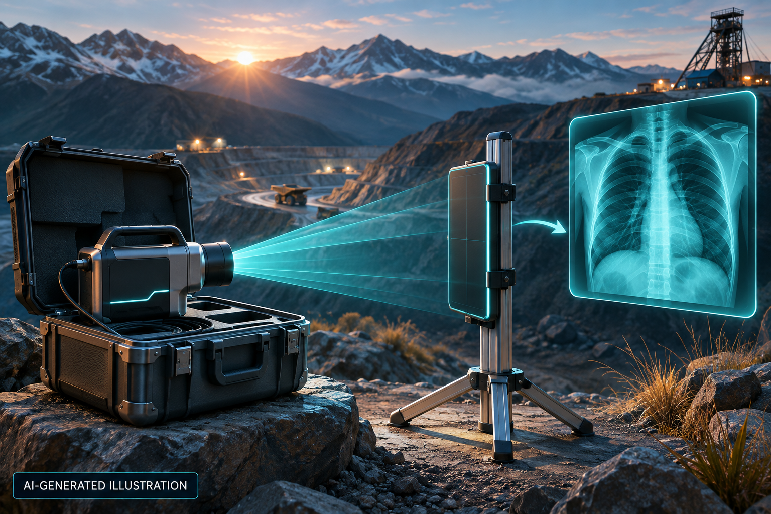
AI-generated illustration: Portable imaging brings a screening tool closer to remote communities.
Portable X-rays brought the first step towards treatment closer to remote mining communities.
Earlier diagnosisIn use

The X-ray clinic travelled to the miners

Discover the story
Result & evidence

DOPASI combined portable X-ray equipment with AI image reading in rural Pakistan, bringing tuberculosis assessment and treatment referrals to mining families with very limited access to health facilities.

Documented result

From April 2019 to August 2021, the programme performed 12,495 X-ray screenings and provided 429 people with TB treatment, with AI supporting image interpretation.

DOPASI Foundation; Stop TB Partnership; Lunit
Pakistan 2021

These are programme totals, not a controlled estimate of AI's isolated effect; positive screens still required clinical diagnosis.

Reviewed 2026-11-14
AI-generated illustration: Conceptual satellite radar revealing floodwater beneath clouds.
Clouds hide the flood from cameras. Radar helps reveal where the water has spread.
Disaster preparednessIn use

Mapping the flood even when clouds hide the ground

Discover the story
Result & evidence

UNOSAT’s deep-learning pipeline turns radar satellite images into flood maps, helping humanitarian coordinators monitor large affected areas repeatedly when cloud cover and disrupted access make ground assessments difficult.

Documented result

During Mozambique’s 2021 flood response, FloodAI produced repeated water-extent analyses and a combined two-week flood map for humanitarian coordination.

UNITAR–UNOSAT; UN Global Pulse
Sofala, Mozambique 2021

Maps describe observed flood extent; they are neither evacuation orders nor a measured reduction in disaster casualties.

Reviewed 2026-11-14
AI-generated illustration: A predicted missed appointment becomes an opportunity for timely outreach.
A predicted empty slot creates a chance to contact someone in time.
Better careIn use

Can a hospital spot an empty appointment before it happens?

Discover the story
Result & evidence

Deep Medical used attendance predictions to support patient contact and appointment management, helping NHS teams use existing clinic capacity when missed visits would otherwise delay care for patients.

Documented result

The NHS InSites 2025 impact report recorded a 23% reduction in missed appointments at Mid and South Essex using Deep Medical.

Mid and South Essex NHS Foundation Trust; Deep Medical
Essex, United Kingdom 2025

This is an institutional implementation result, not a randomized estimate; local patient-contact processes also contributed.

Reviewed 2026-11-14
A bigger picture of AI starts with concrete evidence.Back to filters ↑